

Drone · Melbourne
Melbourne Golf Park
Aerial coverage that shows the full scale of the course and driving range.
Watch on YouTube →Cinematic aerial footage and photography across Queenstown and the wider Otago region, planned properly and flown within CAA rules.
From above, the Wakatipu Basin barely needs directing: lake, peaks, vineyards and valleys. The part that does need work is the planning. We plan flight paths, frame compositions and timing around the best light, so the footage looks cinematic, not gimmicky.
Drone usually works best as one ingredient. We combine it with interviews, walkthroughs or event coverage filmed on the ground the same day, so you get the wide view and the detail from a single booking.
Graded 4K footage: slow reveals, orbits, tracking moves and the wide shot that sets the scene.
High-resolution stills for property, tourism marketing, venue promotion and campaigns, alongside our ground-level photography.
Aerials alongside video and photos shot on the ground, planned as a single day.
We fly under CAA regulations and manage flight planning, risk assessments and property owner consent. Near Queenstown Airport we arrange ATC clearance through Airshare, so you do not have to think about it. Read our guide to Queenstown airspace.
From FanCast Productions across New Zealand and Australia.
Aerial coverage that shows the full scale of the course and driving range.
Watch on YouTube →
Aerial footage for an agency commercial: wide sweeps and tracking moves, on time.
Watch on YouTube →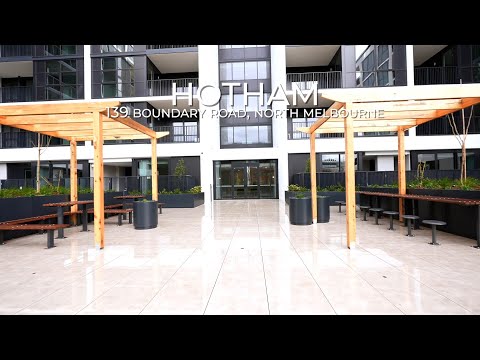
A property walkthrough for Property Motion.
Watch on YouTube →Much of the Wakatipu Basin is controlled airspace. We arrange the ATC clearance through Airshare before the shoot, along with the risk assessment and landowner consent.
Yes. We fly under Civil Aviation Authority rules in New Zealand and plan every flight before we arrive.
Most drone shoots run 1 to 3 hours, with graded 4K footage and stills delivered within about 5 business days.
Tell us the location and what you need from above, and we will plan the flight.